

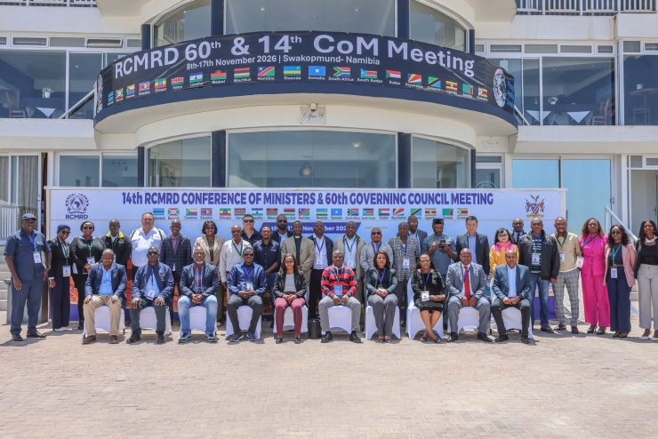
WINDHOEK, Nov. 16– Ministers from Eastern and Southern Africa on Monday called for closer regional cooperation on mapping and satellite data to improve drought and flood monitoring.
The call came at the 14th Conference of Ministers of the Regional Center for Mapping of Resources for Development, held in Swakopmund, Namibia, where Zambia also handed over the conference chair of the regional intergovernmental organization with 20 member states to Namibia.
In an opening address delivered on her behalf, Namibian President Netumbo Nandi-Ndaitwah said common standards for mapping data and shared technical expertise could help countries manage natural resources, plan infrastructure, and respond to cross-border climate risks.
She also called for more training for African surveyors, engineers and geospatial scientists so that countries could collect and analyze more of their own data, and urged ministers to back their commitments with funding.
Nandi-Ndaitwah urged greater investment in young African geospatial scientists, surveyors and engineers to strengthen the continent’s capacity to generate and interpret its own spatial information rather than depend on external data systems. (Namibia Daily News / Xinhua)

